Sign up to stay in the loop via this Google Form: Google Form on West Willamette Watersheds (W3) Collaboration
Introducing the West Willamette Watersheds (W3) Collaboration:
Introducing the West Willamette Watersheds (W3) Collaboration:
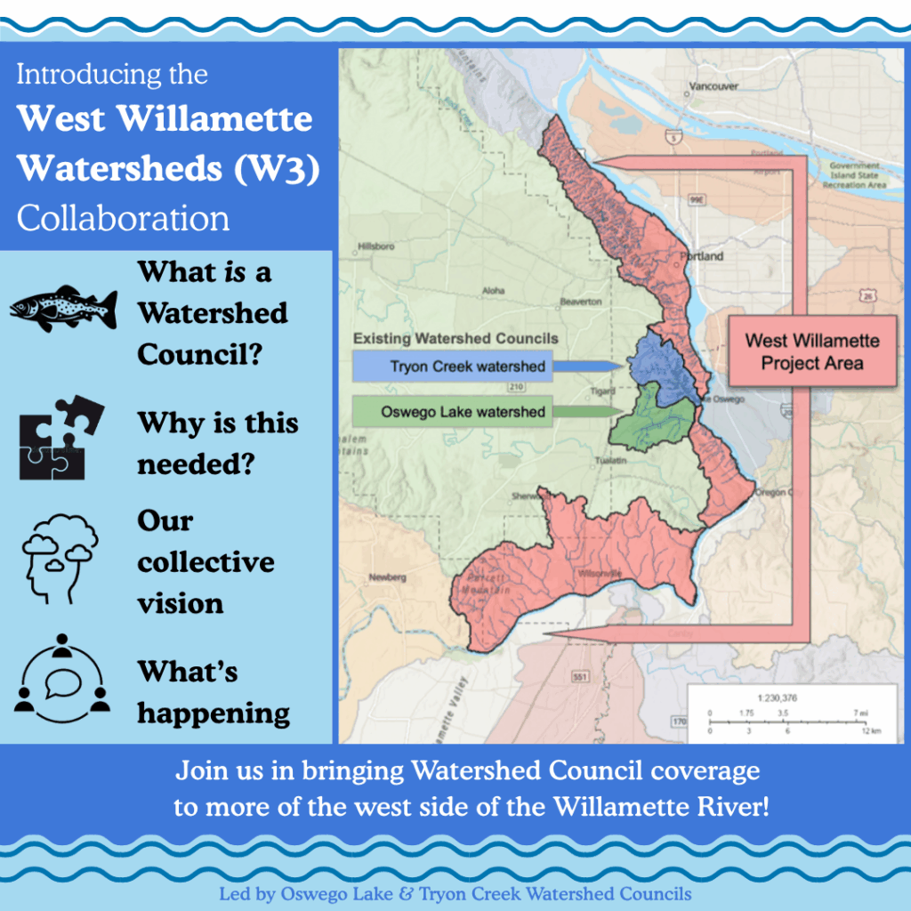
We would like to invite you to shape the establishment of Watershed Council coverage along a stretch of the Willamette River along its reach from Wilsonville, through West Linn, Lake Oswego, and Portland through Forest Park.
Join us in establishing a brand new Watershed Council! Read on to discover what a Watershed Council is, the history of watershed councils in the Portland-Metro region, and an exciting opportunity to join your neighbors to influence a brand new watershed planning process!
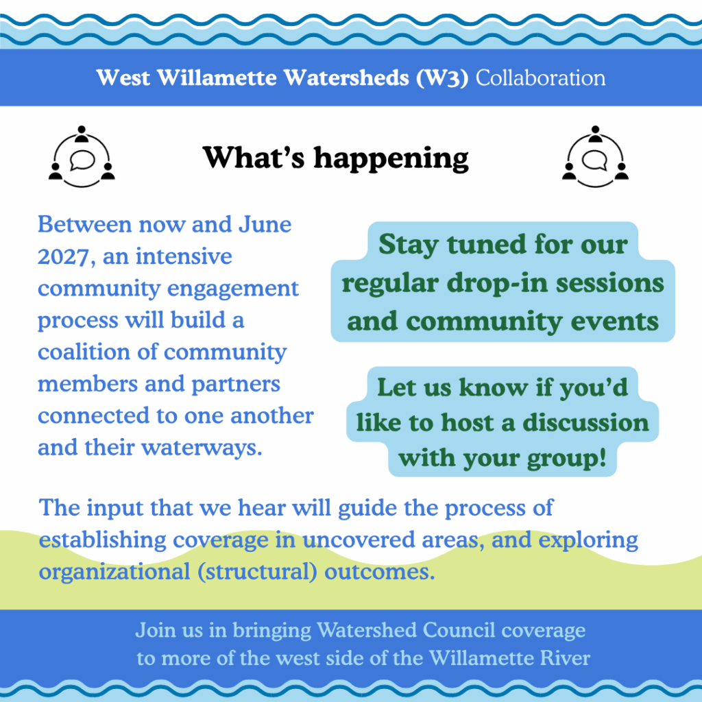
What’s happening:
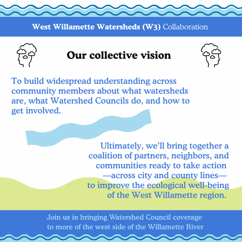
Between now and June 2027, an intensive community engagement process will build a coalition of community members and partners connected to one another and their waterways. Broadly speaking, we hope to build widespread understanding across community members about what watersheds are, what Watershed Councils do, and how people could be involved with the process to establish Watershed Council coverage.
The input that we hear will guide the process of establishing coverage in uncovered areas, and exploring organizational (structural) outcomes. We will be providing opportunities for jurisdictional partners, organizational colleagues, and interested community members to all provide input.
By exploring new models of collaboration—whether through a merger, a formal network, or other shared strategies—we hope to build a stronger, more connected support system for local watershed health.
This effort is grounded in core values: a shared calling to support our watersheds, climate resilience, science-based adaptive management, uplifting Indigenous knowledge and priorities, and long-term care of the land and water. Our collective vision is to bring together a coalition of partners, neighbors, and communities ready to take action—across city and county lines—to improve the ecological well-being of the West Willamette region.
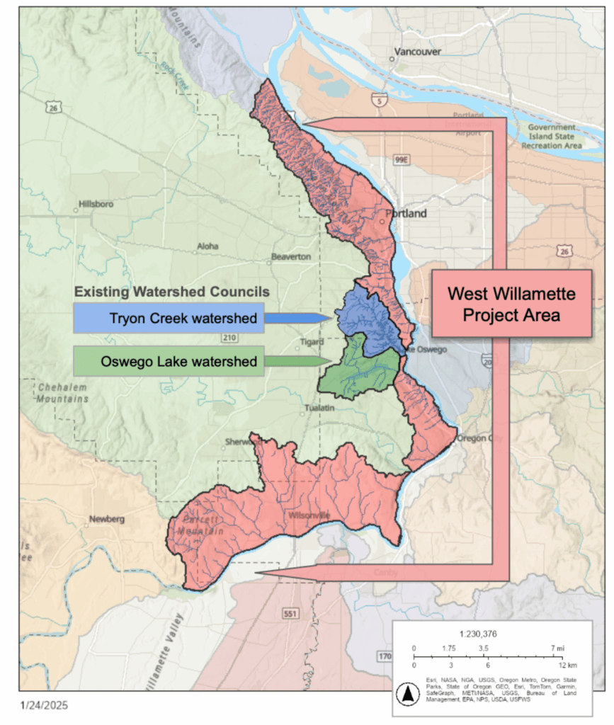
West Willamette Watershed (W3) Focal area
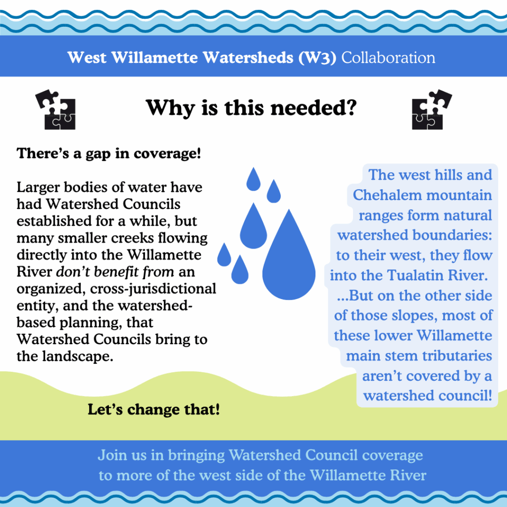
The peaks of the Tualatin Mountain range (Portland’s West Hills) create a watershed boundary on the landscape – to their west, water flows downhill and downstream into the Tualatin River which joins the Willamette River south of West Linn, and is covered by the Tualatin River Watershed Council. On the east side of the Tualatin Mountains, water flows into smaller tributaries which flow directly into the Willamette River; some waterways move through natural areas like Forest Park and Tryon Creek State Natural Area, others are piped underneath downtown Portland, or flow through urban, suburban, and rural areas. On the southern side of the Tualatin River’s confluence with the Willamette River, similar topography from the southern edge of the Chehalem Mountains divides the waterways which flow into the Tualatin River’s tributaries, versus those flowing directly into the Willamette River off slopes like Parrett Mountain. Along this 42-mile stretch of the Willamette River, there are about fifty confluence points from smaller waterways, and the majority of this area is uncovered by a watershed council.
Salmon stepping stone habitat
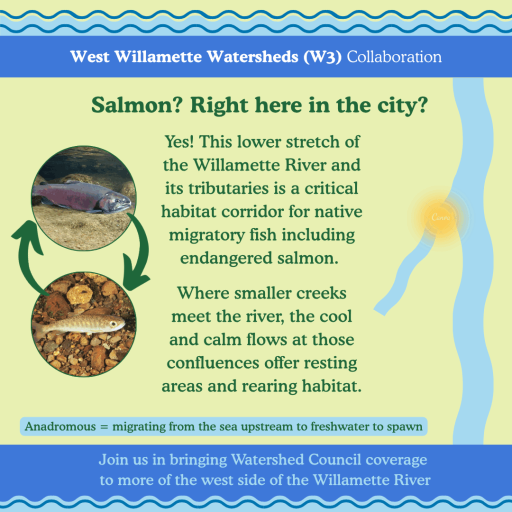
The stretch of the Willamette River and its tributaries in the Portland metropolitan area is a critical migratory corridor for native fish such as salmon, steelhead, and Pacific lamprey. Urbanization and its myriad ecological impacts are amplified by climate change, and fragmented planning limits our ability to protect and restore these habitats at the scale they need.
When salmon migrate from their freshwater streams, out to the Pacific Ocean, and then back to their natal streams to spawn, they need cool, calm water at confluences with the Willamette River. Regardless of whether they migrate over a hundreds miles further upriver to spawn in reaches like the McKenzie River near Eugene, or are nearby in the Clackamas or Tualatin Rivers, the Willamette River provides critical habitat especially at confluence junctions.
Why are Watershed Councils important?
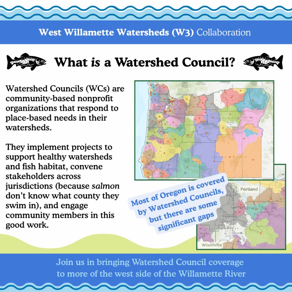
Watershed Councils came into being in the 1990’s to address the significant declines of native migratory fish, particularly salmon and steelhead. As community-based organizations, watershed councils respond to the place-based needs in their watersheds; they implement projects to support healthy watersheds and fish habitat, convene stakeholders across jurisdictions (because salmon don’t know what county they swim in), and engage community members in this good work.
A Watershed Council Deficit
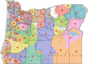
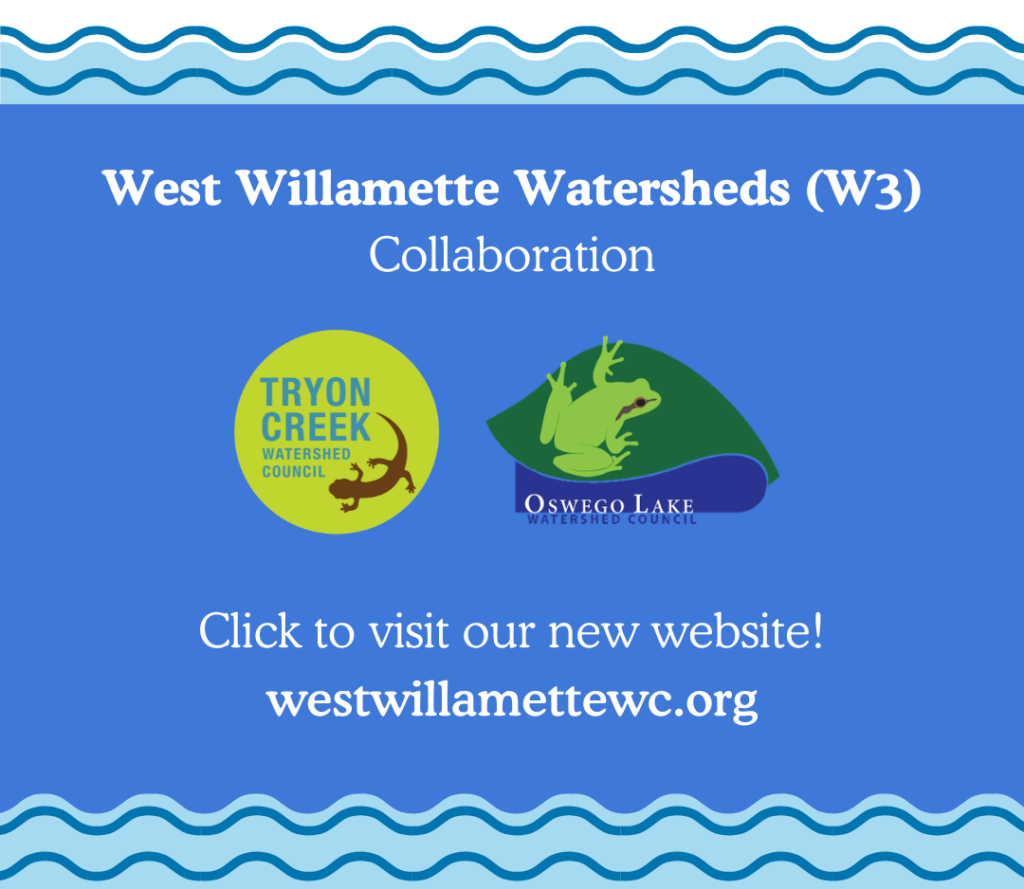
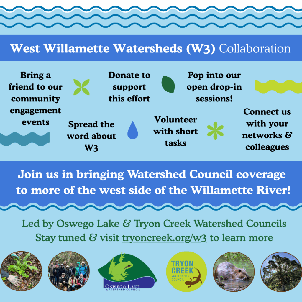
Most of the state of Oregon is covered by a watershed council (mapped here), but there are some gaps in areas where Councils weren’t formed, including in the Portland metropolitan area on the west side of the Willamette River. The two watershed councils who operate in this area, Oswego Lake Watershed Council (OLWC) and Tryon Creek Watershed Council (TCWC), share a history of both collaboration and of working beyond our watershed’s geographic boundaries, including areas uncovered by a watershed council. Together, these groups are embarking on the West Willamette Watershed Collaboration in order to establish coverage in these areas not currently represented by a watershed council.
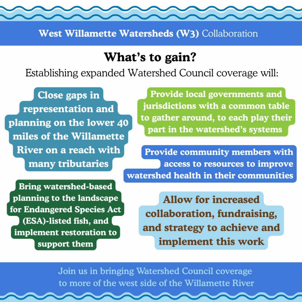
This gap in coverage has been recognized for many years by environmental professionals and community members alike. Establishing watershed council coverage will bring watershed-based planning to the landscape through a lens for Endangered Species Act (ESA)-listed fish, will provide local government and jurisdictions with a common table to gather around to each play their part in the watershed’s systems, and will provide community members with access to resources to improve watershed health in their communities. From a Willamette Basin-wide perspective, establishing watershed council coverage in the lower 40 miles of the river on a side with many tributaries, will close critical gaps in representation and planning.